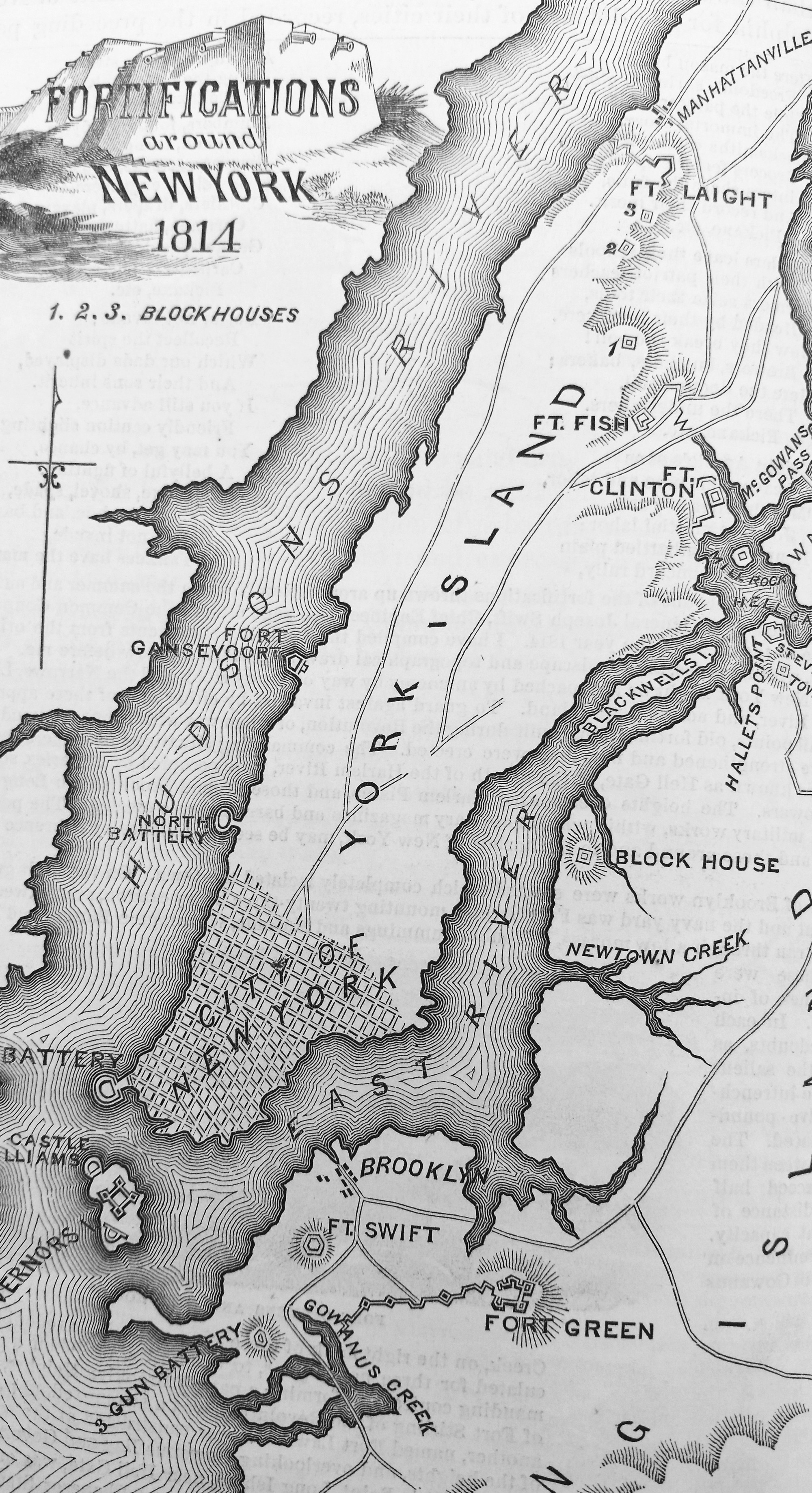
 In "Religion and Ecology" today I again got to share the surprising news that a river runs through our neighborhood - well, a creek named Minetta flows beneath most of the blocks of The New School. I showed the 1865 Sanitary and Topographical Map of the City and Island of New York (turned on its end here; it actually runs southish to northish) which shows our island's remarkable diversity of terrains, but the idea that there's terrain at all may be the biggest surprise. The grid and the city's dazzling verticality can make it feel like a featureless flat platform waiting for humans to start building stuff on it. (A student who's a skateboarder told me they're always aware that few of the streets are in fact flat - they have to be or they'll taste the ground!) I've asked them to explore the creek before our next class; let's see what they manage to do!
Calling up that map again, I had a look at what it tells of the topography of the place we now live, not a place anyone could think was flat! Morningside Gardens sits on the south slope of the Manhattan Valley, on what

The point of bringing up Minetta Creek was to get students to think about the land beneath us, supporting and sustaining - and taken for granted by - us. Knowing about its flow over the years has changed my sense of place in the West Village. What sense of place might the topographical map afford for me as a resident of Manhattanville?